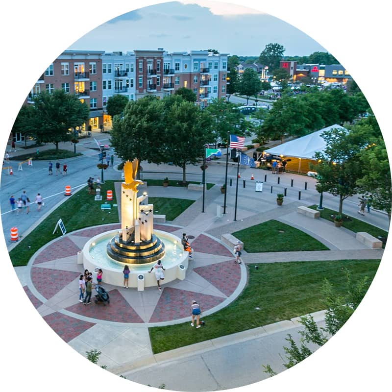
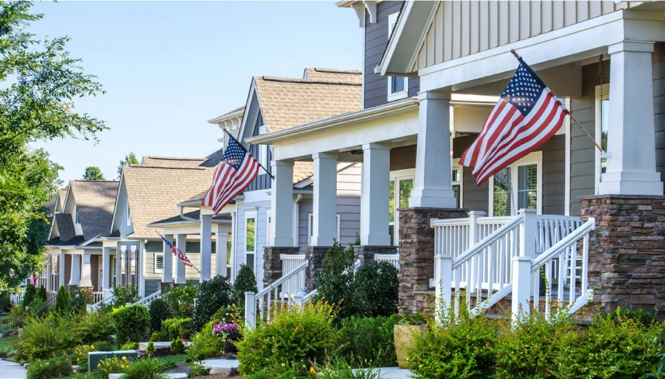
Welcome to Fishers, Indiana – a Smart, Vibrant, and Entrepreneurial City.
Our dynamic city is not only one of Indiana’s fastest-growing communities but also a national standout in livability, safety, and entrepreneurial spirit. See for yourself how Fishers is shaping a future where neighborhood development, business support, and smart city initiatives blend seamlessly.
Featured Services & Resources
Spotlight on Fishers
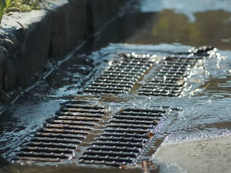
Annual Residential Stormwater Bills Due April 23
Check your mailbox or inbox for annual residential stormwater bills due on Tuesday, April 23. Pay your bill, find more info and see FAQs here.
Apply Now for Spring Neighborhood Vibrancy Grants
The 2024 City budget includes a record investment in neighborhood vibrancy, featuring an enhanced Neighborhood Vibrancy Grant program with an allotted $750,000 in grant funding. Homeowners’ associations and neighborhood groups can submit applications by April 30 to be eligible for the first round of funding.

Fishers Touch-a-Truck
Kids can explore Fishers’ fleet of big rigs, including tractors, snowplows, police cars, and fire trucks at the free Touch-A-Truck event on Tuesday, May 21 from 4:30 – 7:30 p.m. at the Nickel Plate District Amphitheater.
Enjoy live demonstrations from Fishers Department of Public Works, Fishers Health Department, Fishers Fire Department, and the Fishers Police Department, including K-9 exercises and road paving, as well as kids’ activities from Fishers Parks and food vendors.
Events & Meetings
- Early Voting
- NOTICE – Nickel Plate Review Committee Meeting April 24, 2024 – CANCELED
- Board of Zoning Appeals Meeting April 24, 2024
- Technical Advisory Committee Virtual Meeting April 25, 2024
- Early Voting
- Impact Fee Review Board Meeting for April 25, 2024
- NOTICE – Fall Creek Board of Zoning Appeals Meeting April 25, 2024 – CANCELED
- Early Voting
- Arbor Day Tree Giveaway
- Early Voting
Latest News

City of Fishers awards over $30K to local teachers as part of new Educator Innovation Grant program

Spark!Fishers returns with multi-day celebration this summer
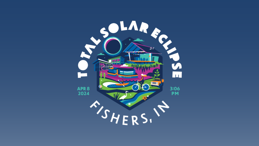
City of Fishers Prepares for Total Solar Eclipse